
Civic
Highway Ramps And Parking Lot
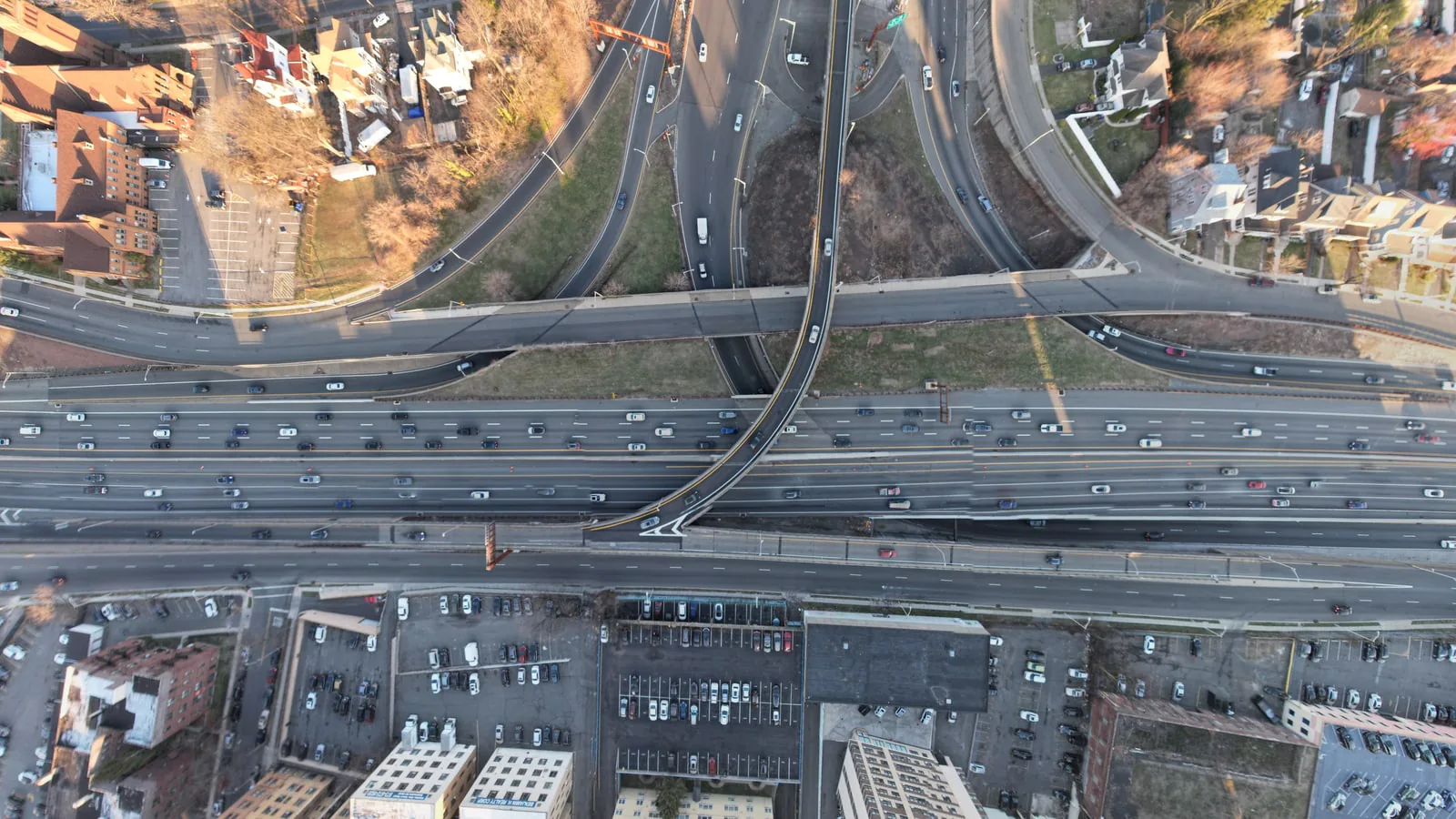
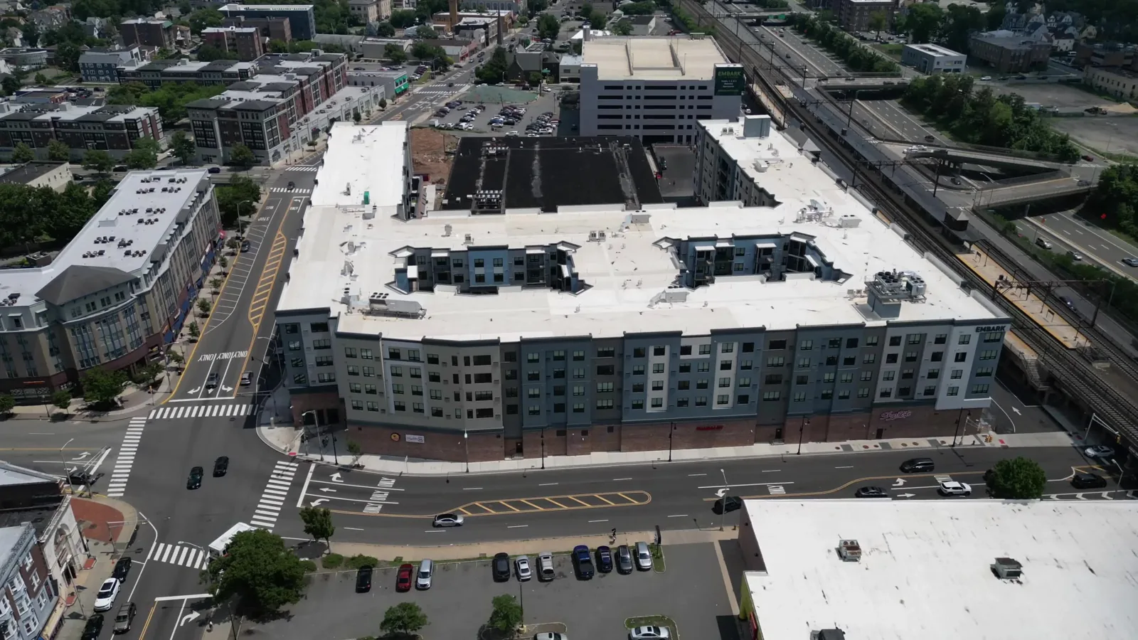
Aerial clip of highway ramps, a large parking lot, and tree canopy in one frame. Captured July 9, 2026. A second still shows a wider cloverleaf with suburban lots. Site identity is not labeled on the frame, so it is not named here.
What this capture was for.
Aerial clip of highway ramps, a large parking lot, and tree canopy in one frame. Captured July 9, 2026. A second still shows a wider cloverleaf with suburban lots. Site identity is not labeled on the frame, so it is not named here. Captured by Baron Aerial Media — planned around a usable output, not a stock plate.
The source clip is under a second. It plays as video. The site is not labeled on the frame — it is not identified as a named interchange on this page.
A submitted brief starts a feasibility review. It does not authorize a flight, confirm a date, or create a contract. Conditions and approvals can change what is operationally possible.
Mission
Civic / infrastructure context
Outputs
Aerial clip + stills
Category
Civic
Captured
Jul 9, 2026
Sensor
DJI 3840×2160
Clip
0.67 s aerial, looped as film
Deliverable stills
More work
Back to gallery →
Altitude Changes Everything
From Rooftops to Bottom Lines.
Tell us the site and the decision the media has to support. We will scope the flight, the deliverables, and whether it is operationally feasible under Part 107.
Plan a Drone Mission